Difference between revisions of "File:CAN-US-Boundary-Waters.jpg"
From AquaPedia Case Study Database
(An image taken from the IJC website mapping transboundary waters and watersheds on the U.S. Canada border.) |
m (Amanda moved page File:Slide-new.jpg to File:CAN-US-Boundary-Waters.jpg) |
(No difference)
| |
Latest revision as of 11:43, 19 July 2013
An image taken from the IJC website mapping transboundary waters and watersheds on the U.S. Canada border.
File history
Click on a date/time to view the file as it appeared at that time.
| Date/Time | Thumbnail | Dimensions | User | Comment | |
|---|---|---|---|---|---|
| current | 13:25, 17 May 2013 | 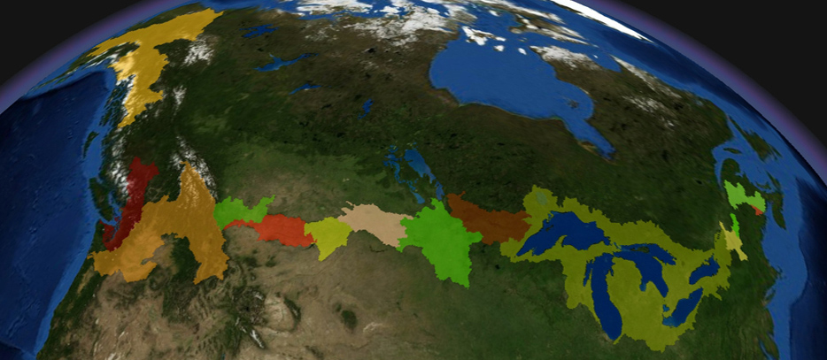 | 934 × 407 (185 KB) | Cvanrees (Talk | contribs) | An image taken from the IJC website mapping transboundary waters and watersheds on the U.S. Canada border. |
- You cannot overwrite this file.
File usage
The following 3 pages link to this file:


